
Participation and informality Workshop
Case study: Meit Khamis informal settlement in Mansoura city
Directed by: Rosa Thoneick and Lisa Reudenbach researchers at the city science lab in Hafen city university – Hamburg
Introduction
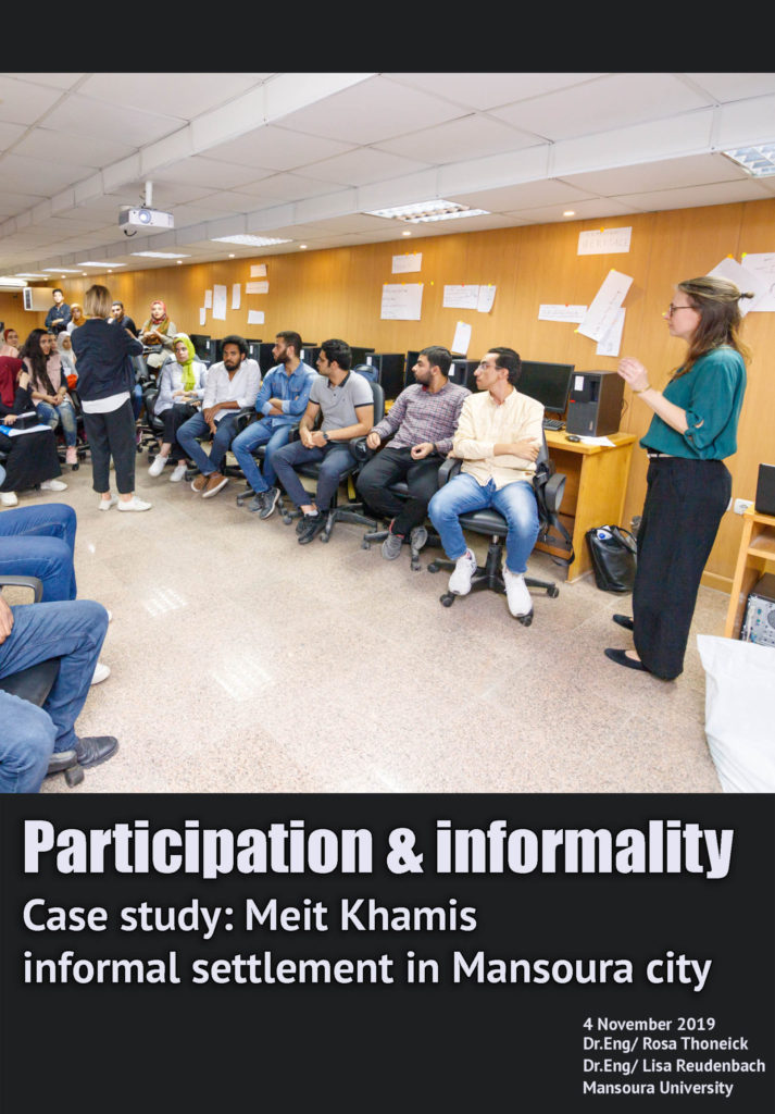
The workshop addressed the problems of an informal settlement called Meit-Khamis in Al Mansoura. It tackled the use of digital interfaces to collect data concerning problems, potentials and risks of the area and share it through a digital forum. The data is enriched by the intensity of the local community contribution. The workshop was developed through sequential phases helping attendees to understand, discuss and foster new ideas through this creative platform. The session started by an explanation about social participation, informality and the use of digital interfaces in community engagements. The second concerned information sharing through using Google plan mapping application. While, the third was based on developing concepts and new ideas from students created through group work. Finally, the fourth phase intended to perform a public presentation for further sharing for data and information in what concerns the upgrading of Meit-Khamis.
First phase: Explanations and Discussions
The workshop focused on the importance of community participation in city planning. It declared that before designing blueprints, citizens should be called out in order to share their needs besides opening up discussions to know citizens’ ideas and aspirations for their cities to be considered in the new plan. Participation continues even after the design where citizens are asked to contribute with their opinion of the blueprint. Consequently, the local government is asked to respond to people’s modifications and considerations. In this context, on line mapping is considered one of the effective tools regulating community participation. It could be utilized to understand people’s dissatisfaction about the conditions of certain districts, streets or neighborhoods. This is available through digital interfaces where people could map the location and write down in text its problematic condition.
After the previous discussions, attendees were asked to mention the different sources of data they can acquire before upgrading an area like Meit-Khamis informal settlement. They mentioned Google maps, open maps, written documents, governmental blueprints for the area, behavior maps, interviews with the local community and story telling. The session then focused on Google plan mapping as a digital interface helping to collect more data about places through people’s contribution to the application.
The workshop aimed to enable participants not only to share data but also to create new data through Google plan mapping application. This phase started during the preparation process before the symposium. Eng. Mokhtar Akl from Mansoura University has presented an overlay of layers concerning the area of Meit Khamis. It introduced the street system, empty/open space, informal mobility, inadequate services and waste management, in addition to housing layers. With the help of Mansoura university students, more data were collected to better identify the main activities, and functions of the area. The previous information was categorized with Rosa Thoneick and Lisa Reudenbach through an informative Google map format – using Google plan mapping app, where layers and services concerning the area of Meit-Khamis and its surroundings were generated. Since the students participating in the workshop were from different governorates in the delta region, it was essential to use this digital format to obtain a fast understanding for the area in a limited time. Students were divided into groups sharing information and data through the generated Google maps link.
After around 15 to 20 minutes students were able to engender a comprehensive understanding regarding the problems of the informal settlement that was presented in a discussion between the attendees and our guests from the city science lab.
The discussions regarding the problems of the informal area concentrated on the lack of health services and shops, infrastructural problems concerning occasional risks of street network and unsuitable walkability. In addition to the presence of improper activities in agricultural land. It was concluded that Google plan mapping produced richer data than other official maps related to land use/ activities and other data related to social activities and behavior. It is updated with real time information, which promote it to become an efficient tool to be used in city planning. One of the successful examples for digital tools is the wheel map application which was designed to offer an online map marking and promoting places of wheelchair-accessibility, like restaurants, cafes, cinemas and streets.
Third phase: Developing concepts and potential solutions
The last phase of the workshop encouraged participants to create a service offered by an online application that would lead to a remarkable transformation and upgrading in the study area. The students where divided in groups working with Google plan mapping, paper, markers and maps.
Students developed different ideas, one was creating an application entitled ‘WATCH-OUT’’ which is a digital tool marking and reporting dangerous corners, alleys and pocket spaces in the informal settlement that is characterized of urban un-safety. The digital service is mapped by the local community, who offers possibilities to develop these areas into gardens, community services or others. Consequently these dangerous and abandoned spaces could play an important role in transforming and upgrading the place.Other group offered a digital interface entitled ‘’GROCERY TO GO’’. It aims to develop the local economy of the people through mapping places of people selling fruits and vegetables in front of houses, public buildings and services, as a kind of a daily work especially for women. This would offer more job opportunities to locals besides, stimulating the emergence of other services and facilities through digital applications. Another group also presented an interface entitled ‘’WE SOLVE’’, which offers technical services to people and residents of Meit-Khamis.
The Fourth phase: Presentation and final discussion
The last phase of the workshop aimed to perform a public presentation for all of the ideas in order to share creative concepts and innovative attempts to design digital interfaces. Each group presented its application through sketches, charts and maps.
An open discussion was generated between directors, moderators and students, regarding each new service. Questioning who are the target social groups of each one. Moreover, how the new service could offer more data and information about the informal settlement of Meit-Khamis. It was a fruitful conclusion as all the participants and attendees had the chance to meet through a common forum for innovation and creativity.