
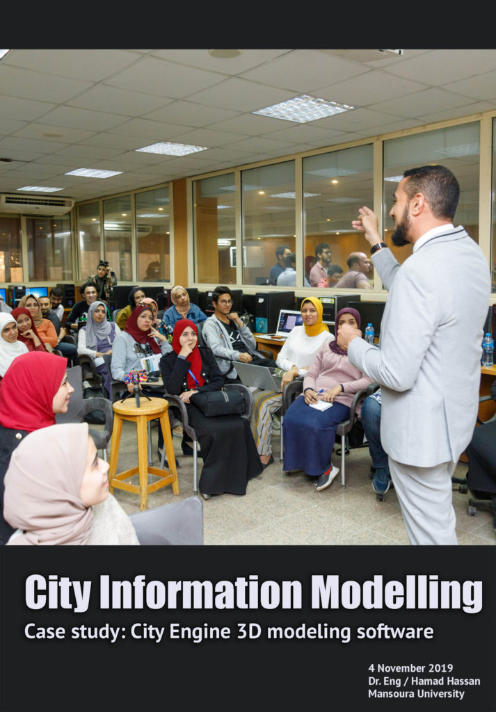
City Information Modelling Workshop
Case study: City Engine 3D modeling software
by: Hamad Hassan, researchers at the Arab Academy for science
Introduction
The workshop addressed a three-dimensional modeling software application that called city engine which is advanced 3D modeling software for supports the creation of detailed large-scale 3D city models urban environments in less time than traditional modeling techniques .The cities created using City Engine can be based on real world GIS data or showcase fictional city of the past, present and future. City Engine use offers the essential 3D city editing and visualization features. It allows you to intuitively create and maintain 3D city scenes and provides the option to share 3D City Scenes to ArcGIS Online. It Create a massive city all at once instead of modeling each building individually. City Engine powers rapid adjustments to the architectural style or other features of your city so you can easily create multiple design scenarios.
First phase: Explanations and Discussions
The workshop focused on the importance of building a 3d city model in five steps
Choose Area: Finding your area of interest. Use ‘Get Map Data’ to import base map and terrain data Sketch & Design: Adding or sketching your streets, city blocks, and parcels. Convert into 3D: converting 2D data into 3D models. Add rooftops, furniture, vegetation, and other 3D assets. Add Details: Texturizing your buildings and facades. Add more details to your 3D models Export : Export your finished 3D city
Second phase: Advantages of using City Engine 3D modeling software
1- Design urban environments: Make 3D models to show planned changes and alternate designs which offer designs with 3D representations of regulatory and land use conditions.
Case study: City Engine 3D modeling software
by: Hamad Hassan, researchers at the Arab Academy for science
Introduction
The workshop addressed a three-dimensional modeling software application that called city engine which is advanced 3D modeling software for supports the creation of detailed large-scale 3D city models urban environments in less time than traditional modeling techniques .The cities created using City Engine can be based on real world GIS data or showcase fictional city of the past, present and future. City Engine use offers the essential 3D city editing and visualization features. It allows you to intuitively create and maintain 3D city scenes and provides the option to share 3D City Scenes to ArcGIS Online. It Create a massive city all at once instead of modeling each building individually. City Engine powers rapid adjustments to the architectural style or other features of your city so you can easily create multiple design scenarios.
First phase: Explanations and Discussions
The workshop focused on the importance of building a 3d city model in five steps
Choose Area: Finding your area of interest. Use ‘Get Map Data’ to import base map and terrain data Sketch & Design: Adding or sketching your streets, city blocks, and parcels. Convert into 3D: converting 2D data into 3D models. Add rooftops, furniture, vegetation, and other 3D assets. Add Details: Texturizing your buildings and facades. Add more details to your 3D models Export : Export your finished 3D city
Second phase: Advantages of using City Engine 3D modeling software
1- Design urban environments: Make 3D models to show planned changes and alternate designs which offer designs with 3D representations of regulatory and land use conditions.
2- Bring your community vision to life: City Engine helps you make quality decisions that will benefit your community for decades. It is used to develop creative and dynamic 3D visualization experiences. City Engine’s 3D visualization power shows you project relationships, feasibility, and implementation.
Third phase: Open discussion
Participants asked many of questions about using program and make benefit from it as follows:
Q1_ Could be used the program to adjust the problems of existing cities?
The answer: it difficult because most of existing cities had loss database, which would work within the new cities because they had more available database and GIS data.
Q2_ Is it possible to use the City Engine 3D modeling software in the internal design?
The answer: Program applications are limited to external areas and blocks.
Q3_ Are there any other programs that are helpful to the City Engine program?
The answer: City Engine must connect to ArcGIS Online to bring in 3D terrain data and base maps and to publish your 3D scenes.
Third phase: Open discussion
Participants asked many of questions about using program and make benefit from it as follows:
Q1_ Could be used the program to adjust the problems of existing cities?
The answer: it difficult because most of existing cities had loss database, which would work within the new cities because they had more available database and GIS data.
Q2_ Is it possible to use the City Engine 3D modeling software in the internal design?
The answer: Program applications are limited to external areas and blocks.
Q3_ Are there any other programs that are helpful to the City Engine program?
The answer: City Engine must connect to ArcGIS Online to bring in 3D terrain data and base maps and to publish your 3D scenes.